
Iron Age marsh forts
The area around the Isle of Athelney, where our latest rewilding site is located, is a place steeped in history and legend. Archaeologist Theodore Reeves from the University of Birmingham writes about some of his recent work studying the nature of the wetlands, and the evidence for Iron Age ‘marsh forts’ in the area. This is very much work in progress, so we will be sure to return to it when we know more!
Athelney is best known for its association with King Alfred. The site was the location of his fort while he hid from the Vikings, and was later converted to a monastery which continued to be used until the dissolution under Henry VIII. Questions about the monastery prompted the site to be excavated by Time Team, twice, in its first and its milestone 100th episode. These excavations, however, identified something quite unexpected – a ditch across the western end of the island. Animal bone found in the fills of the ditch has been radiocarbon dated to the Middle to Late Iron Age (4th-1st centuries BCE). Though the evidence for Iron Age activity is limited, it is present, with the potential for additional elements being destroyed in the construction of the later Anglo-Saxon structures.
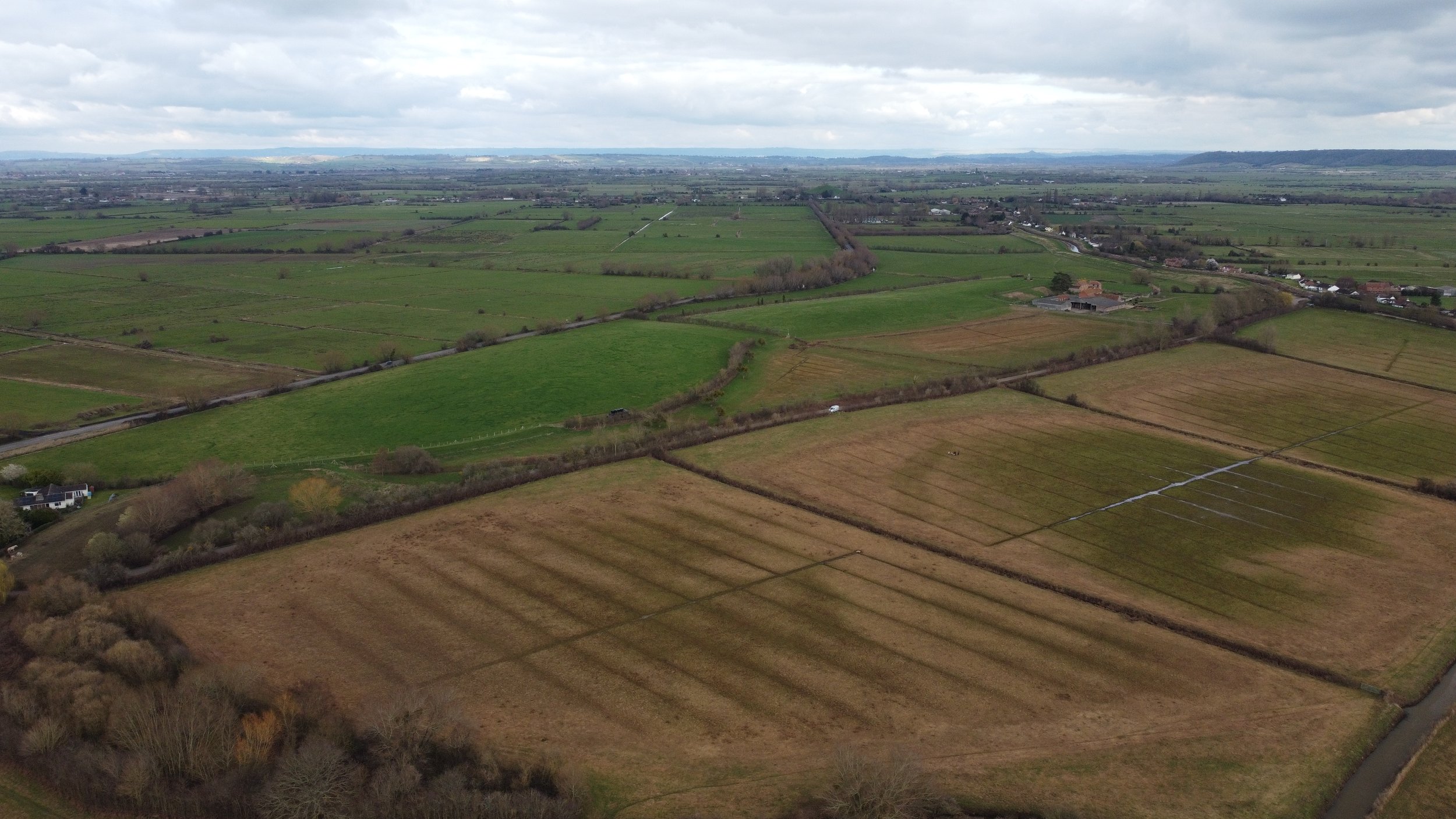
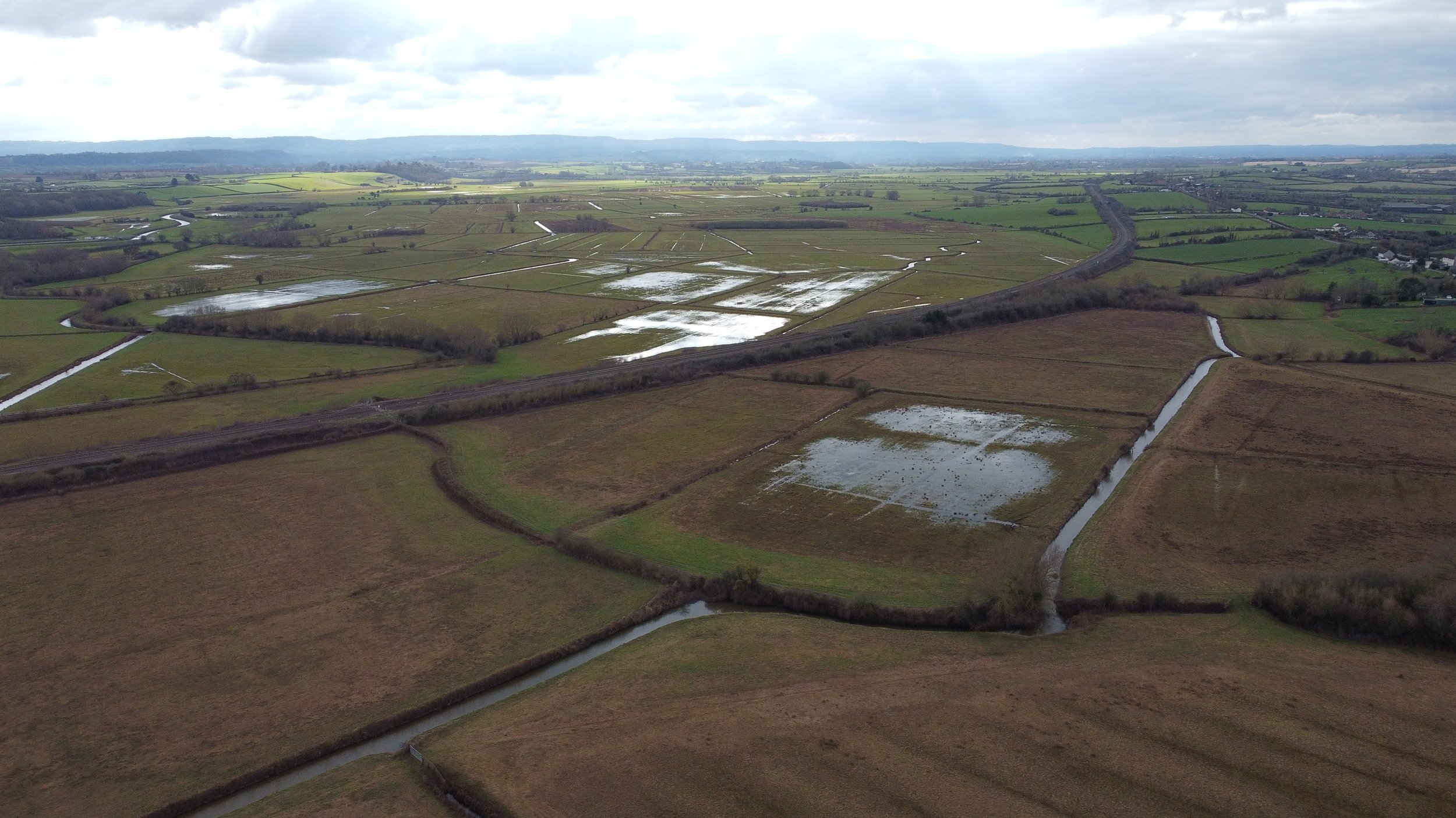
The identification of this potentially Iron Age ditch led to the site being identified as a potential “marsh-fort”. Marshforts are currently described as Iron Age earthwork enclosures, similar to hillforts, but located in or near wetland. Through my PhD project I have been investigating these sites including Athelney, examining the nature of the wetland that makes them “marshforts” and attempting to understand just why these sites were built in these landscapes.
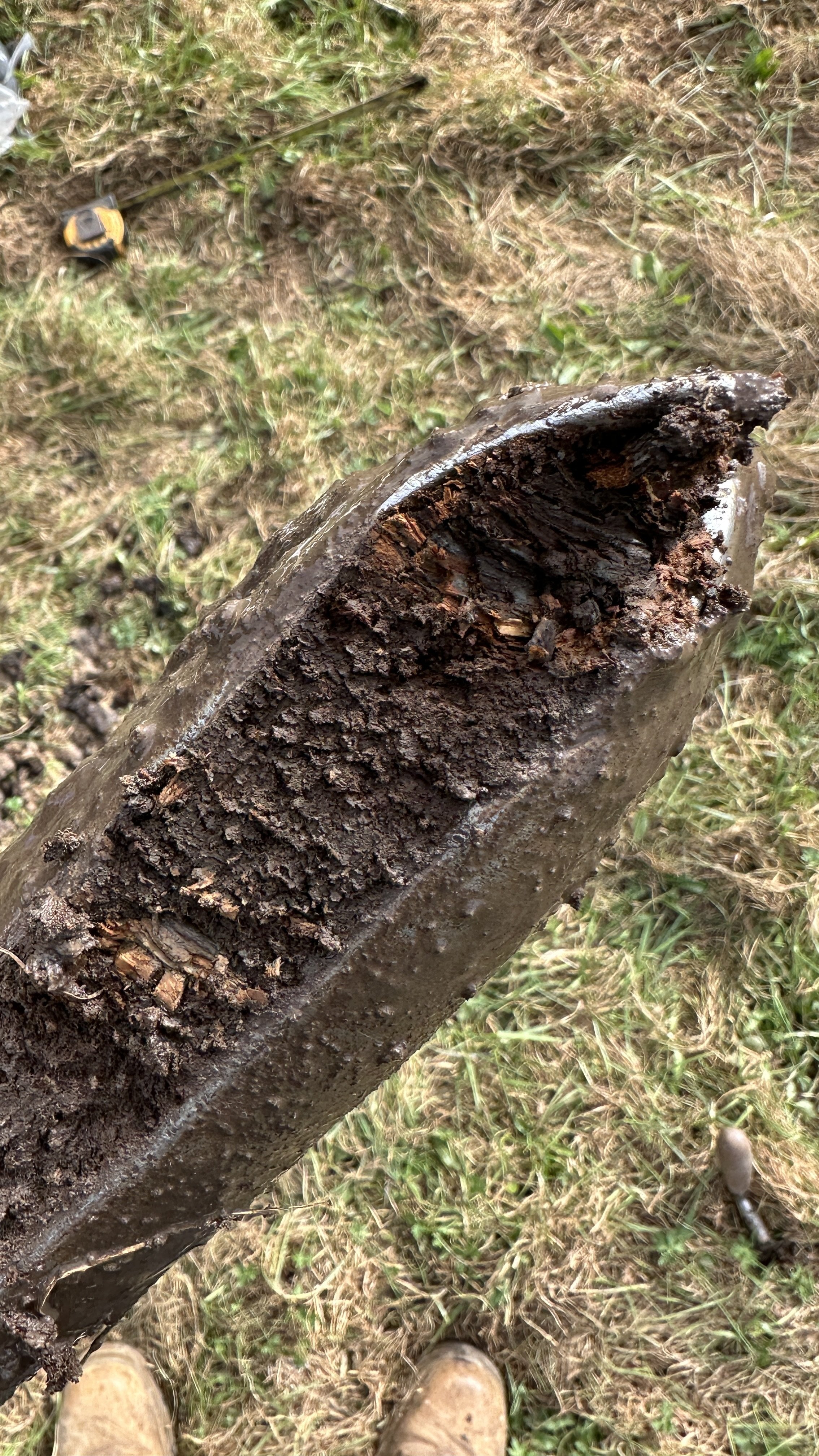
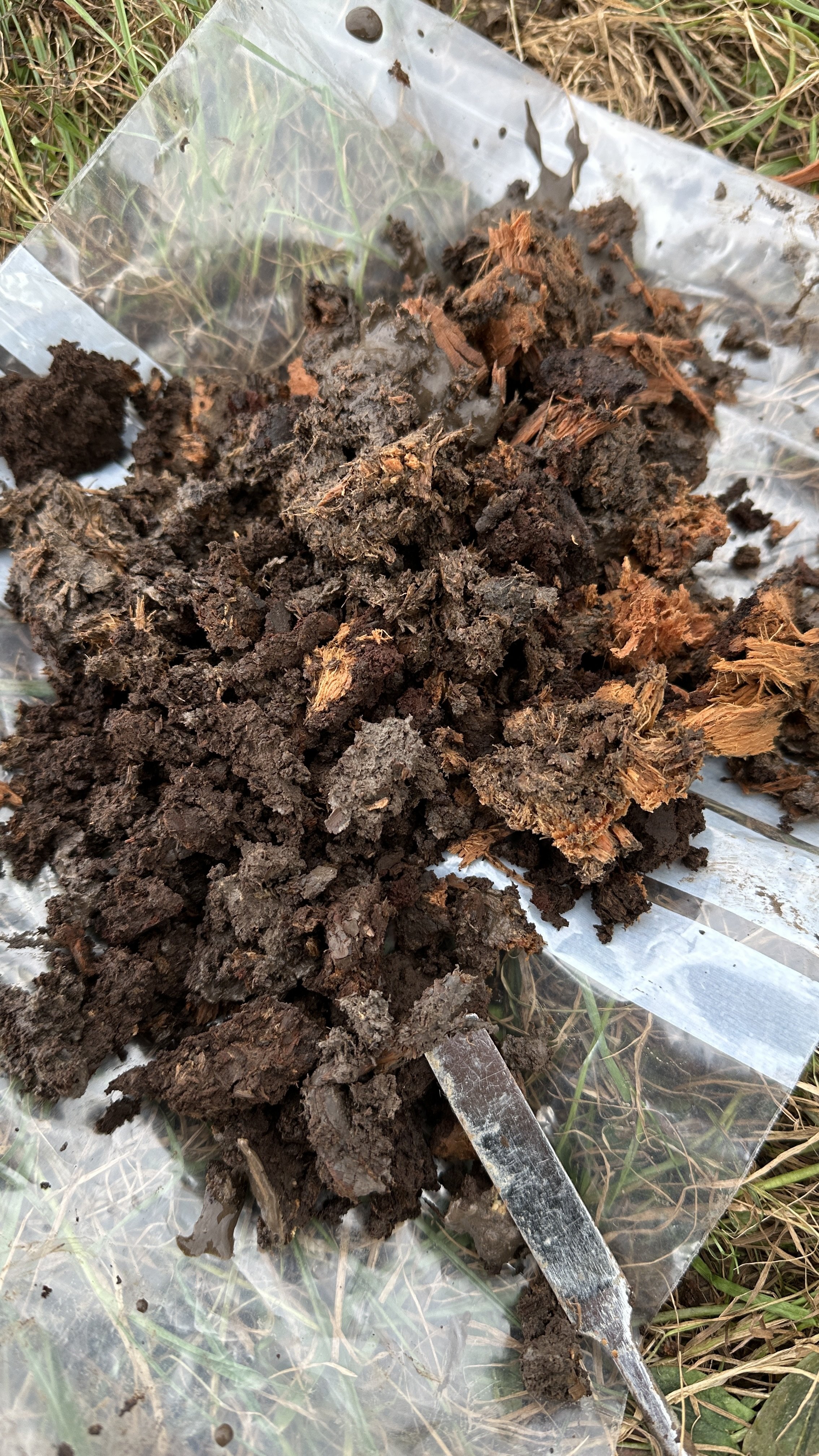
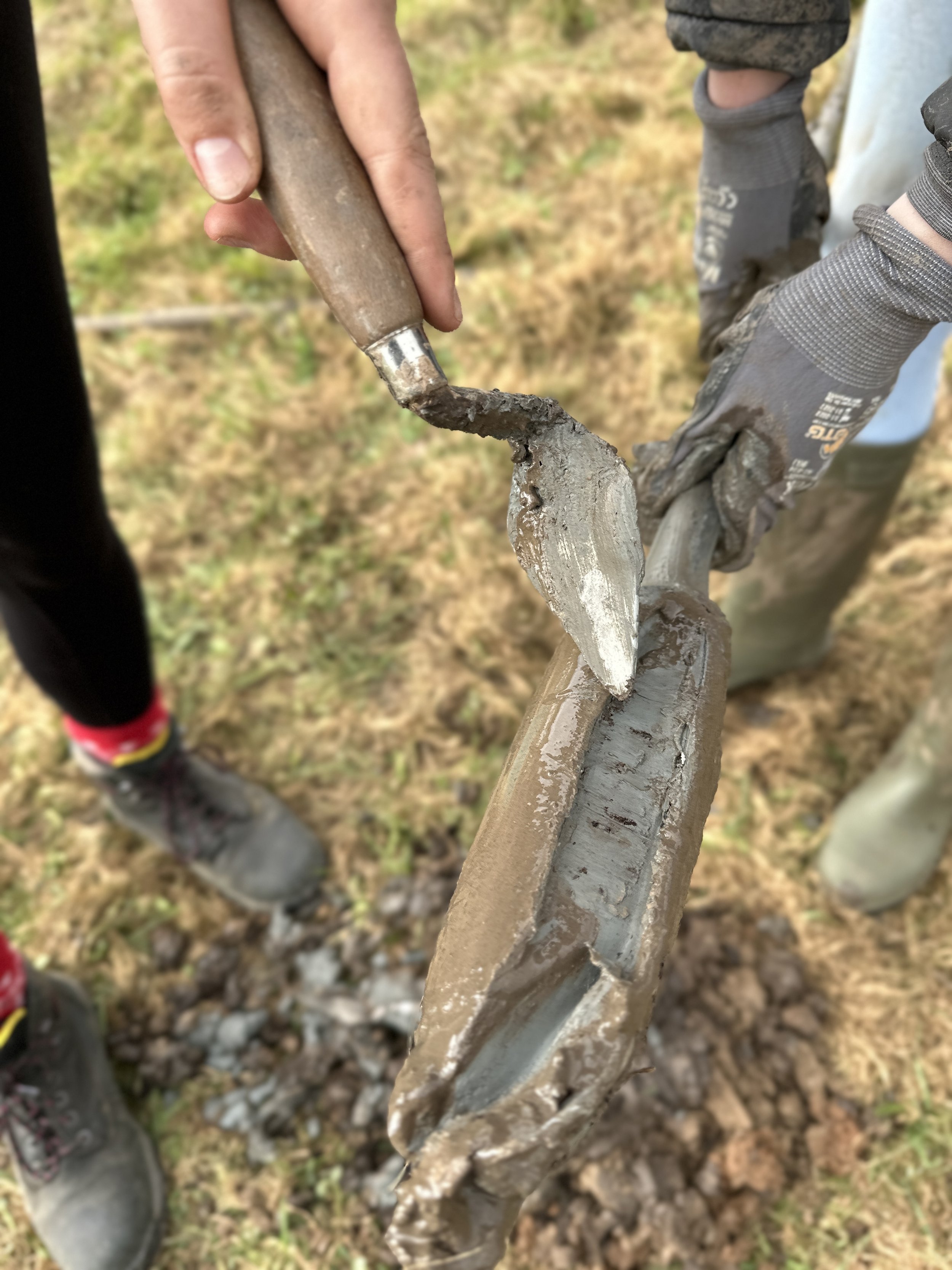
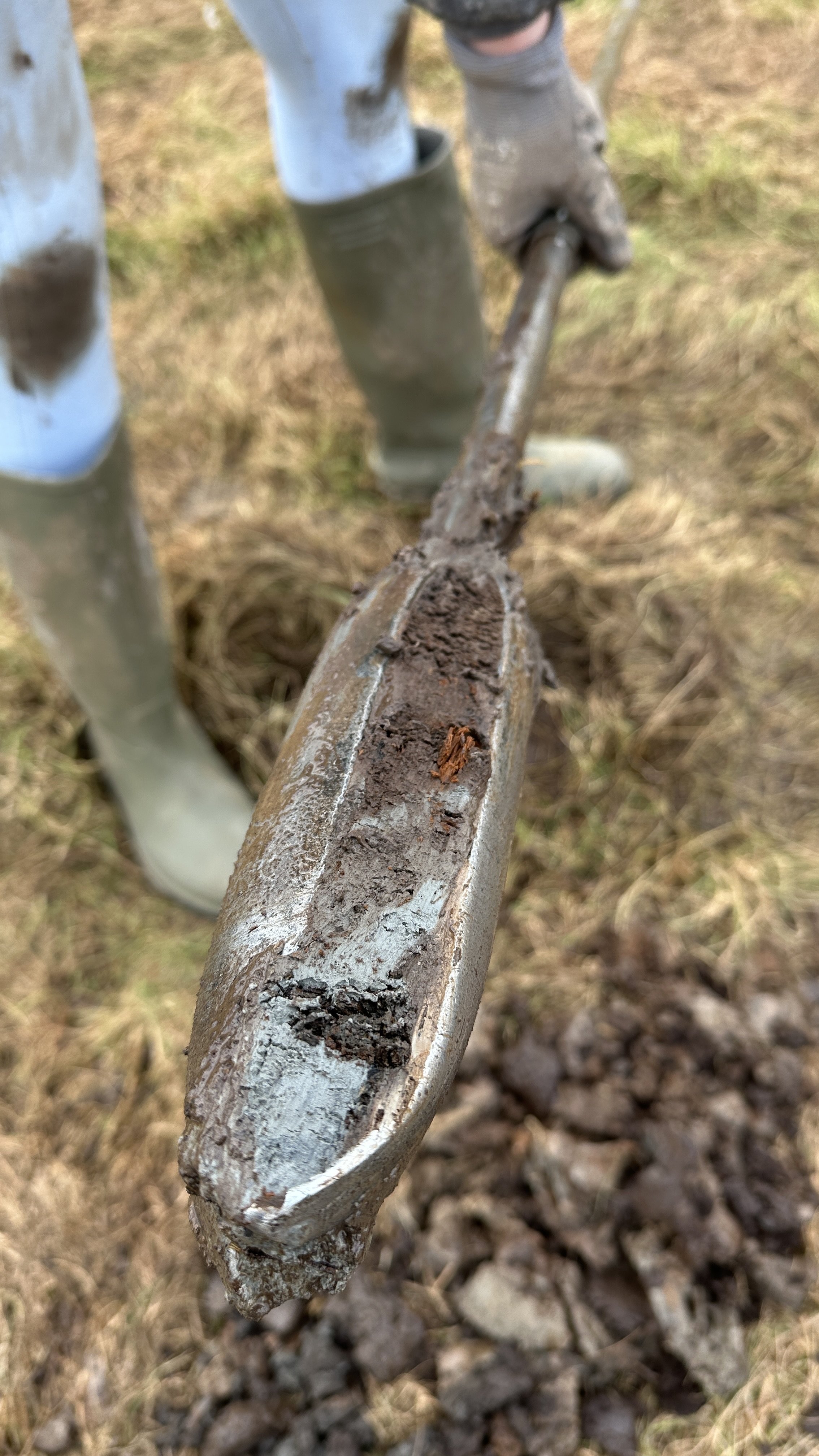
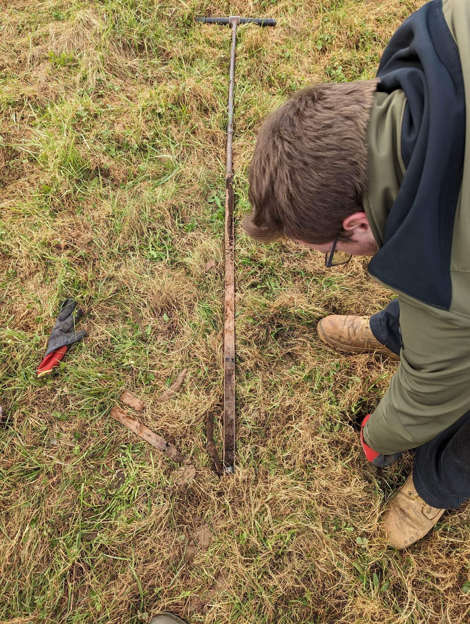
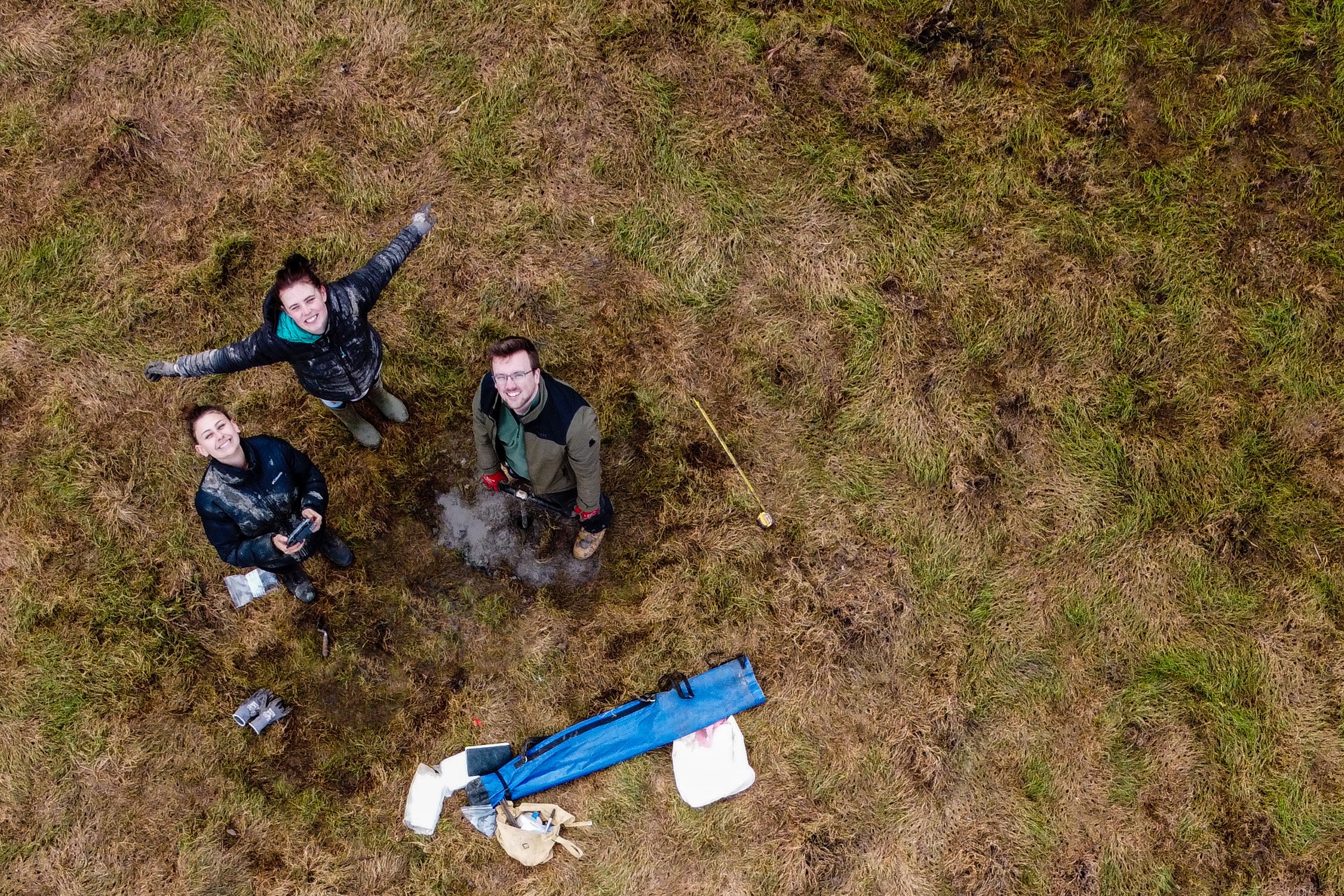
Asser, a welsh monk and bishop who wrote a biography of Alfred in 893, described the landscape surrounding the Isle of Athelney as “swampy, impassable… marshland and groundwater on every side”. During February 2023, with the help of some undergraduate archaeology students from the University of Birmingham, I undertook a small-scale auger survey of the wetland in the Somerset Wildlands’ land to the south of the isle. This investigation uncovered the layers of hidden wetland deposits beneath the surface. Augering up to 4m below ground level, we uncovered extraordinary wetland preservation of peat including wood which has remained buried for centuries.
This research has highlighted the amazing potential for future studies which can unveil the nature of the ancient environment around the site. Samples from the coring have also been collected which will be sent off for further analysis including potential radiocarbon dating to determine whether the wetland was present during the Iron Age, establishing an even earlier chronology for this fascinating landscape and confirming the validity of the site as an Iron Age “marsh-fort”.
- Written by Theo Reeves, University of Birmingham (supported by Midlands4Cities – AHRC).